

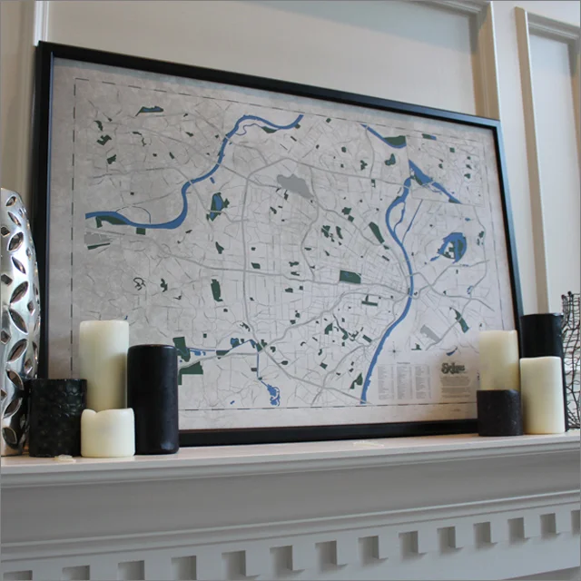
Greater St. Louis Map (Print)
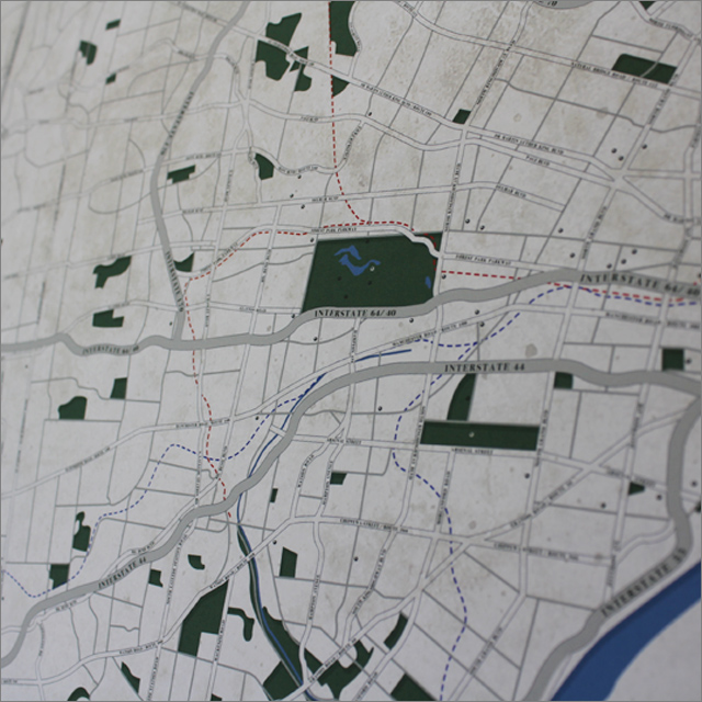
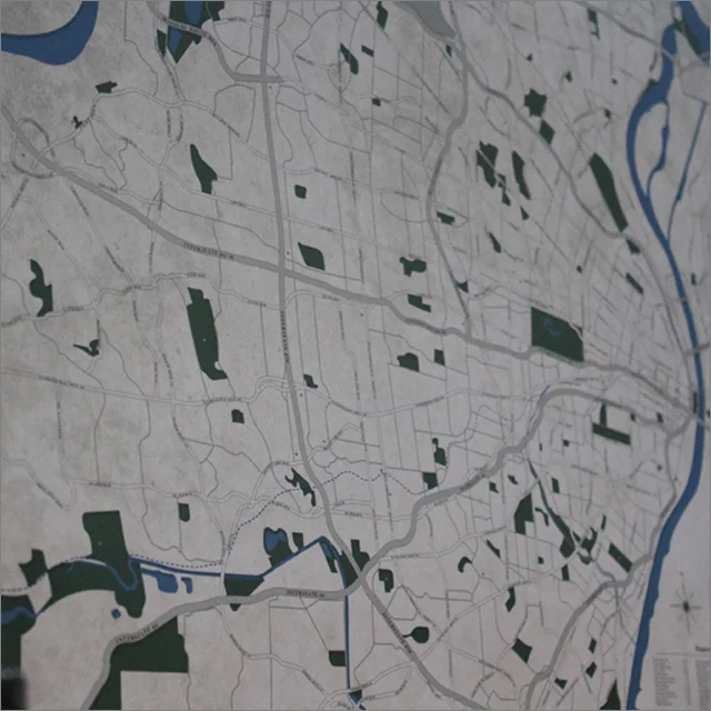
Print illustration of much of the Greater St. Louis Metropolitan area (from west/ east-- Chesterfield to Fairview Heights, and north/ south-- Alton to Arnold).
Original print by "Onetime Supply Co." (35¾" x 24" or 55" x 39¾"). Printed piece.
*Please call or email for framed print pricing and availability.
Design Story:
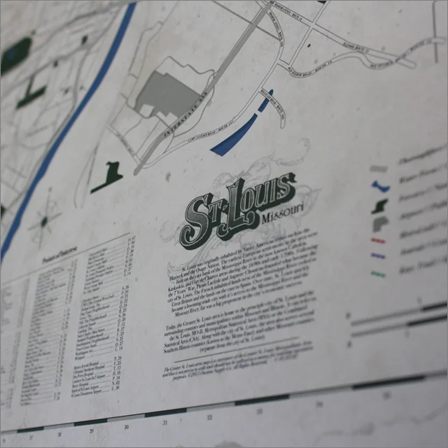
St. Louis was originally inhabited by Native American tribes such as the Illiniwek and the Osage Nation. The earliest European settlements in the area were built on the east bank of the Mississippi River in the now known Cahokia, Kaskaskia, and Fort de Chartes areas during the 1690s and early 1700s. Following the 7 Years’ War, Pierre Laclède and Auguste Chouteau founded what became the city of St. Louis. The French inhabited lands west of the Mississippi River ceded to Great Britain and the lands on the east to Spain. Over time, St. Louis quickly became a booming trade city with it’s access to the Mississippi River and the Missouri River; fur was a big proponent in the city’s economic success.
View more pictures of Greater St. Louis Map. _Here.
©2020 Onetime Supply Co.